Low Poly Earth
The whole planet in 3D, built from OpenStreetMap data
About Low Poly Earth
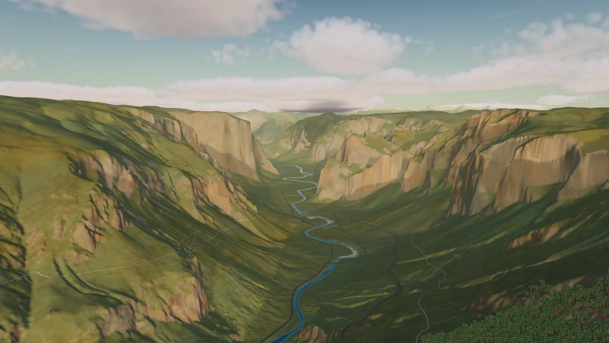
The whole Earth in 3D, built from open map and elevation data. Free for Mac.
In the maker’s words
After seeing demos of Claude and GPT construct Manhattan and other city neighborhoods in 3D I was inspired to make something similar but for the entire Earth. It's a low poly version of Google Earth built using open street and elevation data as a native Apple silicon Mac app. It was built entirely using Codex and Claude Code and took about 80 days.
Where people found it
- Hacker NewsShow HN: Low Poly Earth – The whole planet in 3D, built from OpenStreetMap data6 points5 comments5 days ago
More sites like Low Poly Earth
- Giving Opus 5.5 a simulated paint canvasstillwet.art
- AIHOT一个自己找热点、自己写日报的网站框架。把信源和精选标准换成你的,它就是你的行业热点站。
- Offrunmanage every coding agent from one workspace
- Lofi CitiesPixel-art city nights with browser-generated lofi
- OpenDotsYour always-on AI coworkers that move between text, calls, and Slack.
- Pi podRun your pi coding agent in sandboxes on your own server